Waikato Regional Council manages over $1.1 billion worth of flood protection, river, lake, and drainage assets across the Waikato region.
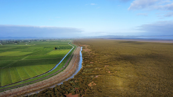
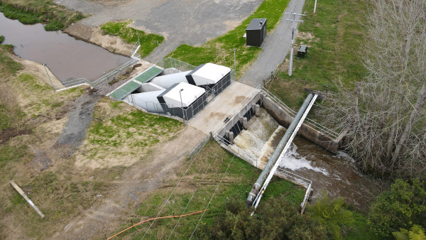
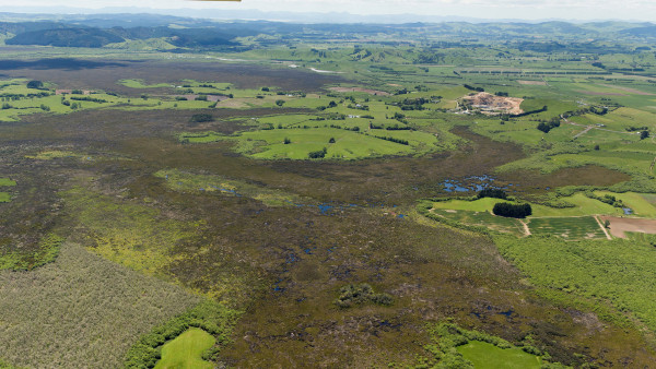
These assets, including stopbanks, floodgates, pump stations, spillways and channels, form integrated networks of flood management and land drainage schemes.
They help safeguard lives and property, enable productive use of land, and protect services such as water supply, power, telecommunications and state highways and roading networks.
The majority of our schemes were built between the 1950s and 1970s. As a result, many are now approaching the end of their operational life. Over the next 50 years, we expect to invest over $1 billion on flood management and land drainage infrastructure. In addition, a further $1.87 billion is expected to be spent on non-capital costs, including ongoing operating and maintenance, and depreciation.
Long term planning is essential to ensure our infrastructure remains effective and affordable for future generations, particularly in the context of climate change, land subsidence, changing land use, and evolving environmental legislation. Decisions to maintain, renew, or replace assets are based on:
- asset condition and age
- risk and criticality
- performance against agreed levels of service
- whole‑of‑life cost and affordability
- environmental and climate considerations.
We prioritise investment based on risk to people, property, the environment and economy, and deliver this work in partnership with local communities, landowners, iwi and district councils.
What's involved
Planning ahead
- Long-term direction is guided by the council’s 50-year Infrastructure Strategy.
- The Regional Asset Management Plan provides a clear, practical framework for planning, managing, maintaining and improving key infrastructure assets, supporting community safety, environmental outcomes and long‑term sustainability.
- Funding, priorities and service levels are agreed with communities through the council’s long term plan.
Levels of service
Levels of service (LoS) describe scheme outputs we agree to deliver and drive our design and maintenance decisions. LoS include
- the level of flood protection or drainage service communities receive*
- acceptable risk thresholds
- performance, reliability, and response expectations.
These LoS are
- anchored in legislation
- agreed with communities and catchment committees
- reported publicly through performance measures and KPIs as part of the council’s annual report.
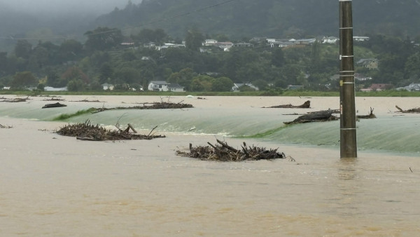
*Each scheme is designed to protect against certain-sized events and no more. Once built, design standards and levels of service can drift apart. For example, a scheme may be designed for a 1% annual exceedance probability event (often referred to as a 1-in-100 year event), but over time improved flood estimates (knowledge), climate change (higher rainfall and sea levels), catchment changes (land use changes, development, or higher or faster runoff), and cost pressures (operational, maintenance, regulatory, and meeting new environmental standards) can reduce the level of service from the original design.
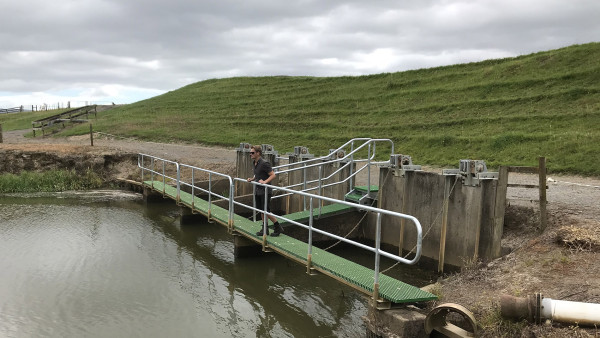
Looking after assets
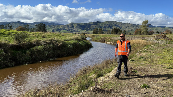
- Regular inspections and condition checks.
- Routine maintenance to prevent small issues becoming major failures.
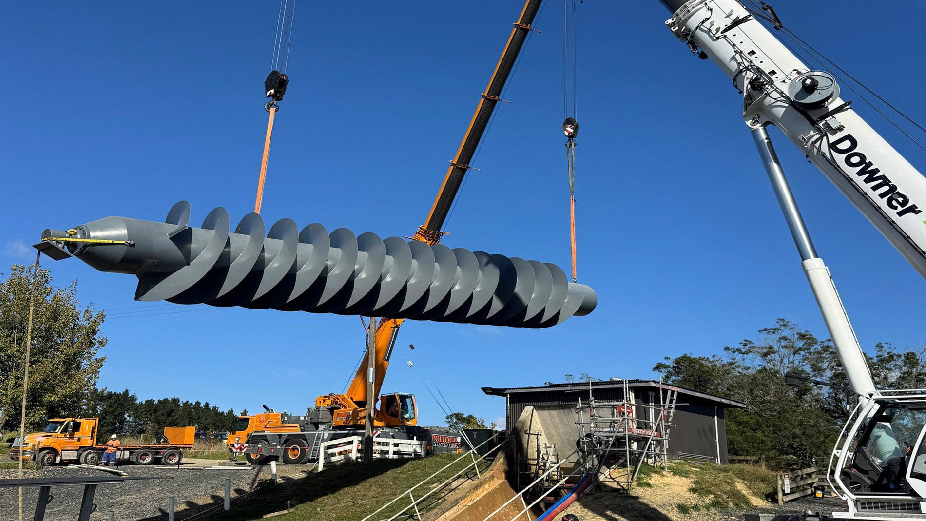
- Renewing or upgrading assets when they reach the end of their useful life or aren’t performing as designed to.
- Responding quickly during and after floods and storms to ensure schemes are operational and to repair damage.
- Regular service level reviews using updated hydrology, hydraulic models and surveys.
Main assets
Flood assets need to be managed and maintained. A small failure can lead to a lot of damage!