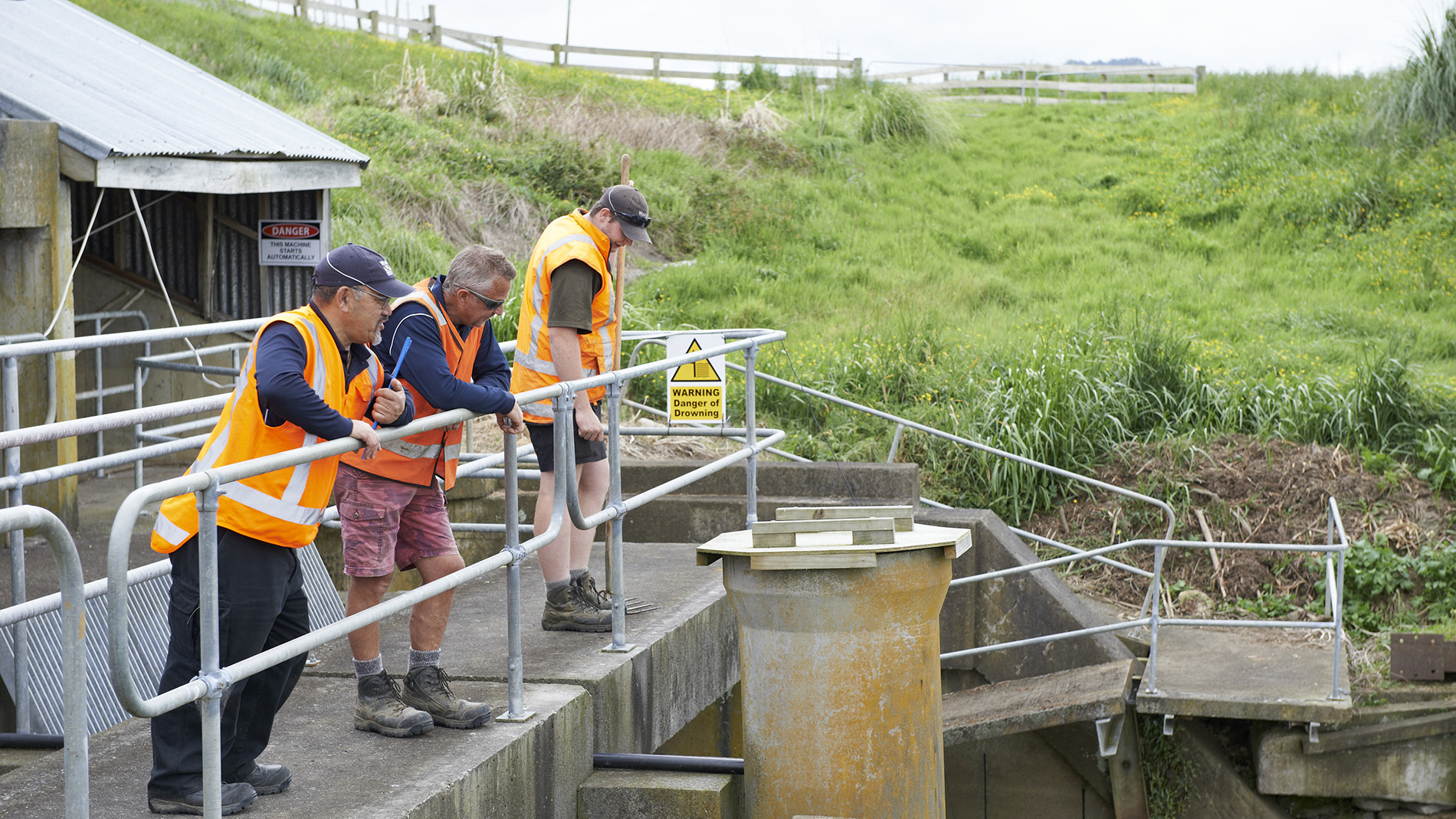
Protecting people and land from floods
The Waikato region has 20 large rivers and about 1400 small river systems, so flooding can be an issue in some areas. Flooding commonly happens when rivers and streams cannot cope with heavy rainfall.
Waikato Regional Council is responsible for flood protection under the Soil Conservation and Flood Protection Act 1941 and the Public Works Act 1981. We manage multi-million dollar systems that protect communities, schools, roads, farms and other vital resource, keeping land draining freely in specific geographic areas where schemes have been agreed with communities.
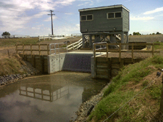
Our flood protection assets and systems include stopbanks, floodgates, pump stations, spillways and channels, all linked and managed by computer monitoring of river levels and flows.
There are over 90 individual land drainage schemes, each locally funded through targeted rating.
Did you know?
The flood protection systems managed by Waikato Regional Council:
- have a replacement value of $1.2 billion
- realise and protect community infrastructure that generates over $2.2 billion of economic activity annually
- protect over 300,000 ha of land.
Land management and licensing
Land was acquired for the various flood protection schemes as far back as the 1920’s with the Waihou Ohinemuri River Improvement Scheme.
Land acquisition and development of the flood protection schemes continue today, as required for stop bank design flood level maintenance in sinking soils, channels widening or pump upgrades in flood prone areas.
Waikato Regional Council has five Joint Management Agreements (JMAs) and one Co-managed Lands agreement with Waikato rohe iwi. These derive from the provisions within the iwi specific Treaty Settlement legislation.
The Land Management team, part of the wider asset management team, manages council’s interests in land and ensures that the necessary agreements, easements and encumbrances are in place and that the portfolio is managed to the prescribed levels of service. Standards are in place to protect the interests of all parties involved, including Crown agencies, iwi, district councils and the general public and to meet council’s responsibilities under legislation including health and safety impacts.
The team:
- regularly inspects the land portfolio and promotes best farm and property management practices
- liaises with councils engineers in scheme impacts on lands, renewals and maintenance planning
- ensures grazing licences are managed to meet terms and conditions
- negotiates new acquisitions and disposals
- conducts and presents annual and five-yearly licence fee reviews and presents alternative land use options to council and co-management policies
- implements the Land Management Strategy (under development).
Scheme areas
There are currently over 300 licences. These are all for land located in the Waihou, Piako and Lower Waikato zones. Select an area below to see a map showing licensed land locations.
You can also read our information sheet on looking after your stopbank and license area for more on grazing licence area responsibilities.
Contact us online for more information, or call 0800 800 401 and ask for our Council Lands Officer or Land and Licenses Assistant.

Stopbanks
Without stopbanks, large areas of our region, including the north Waikato and Hauraki Plains, would be under water for months at a time.
Most of the Waikato Regional Council’s 620 km of stopbanks are in the Waihou-Piako and Lower Waikato zones. These two zone schemes were developed in the 1960s and many stopbanks are now more than 50 years old.
Learn more about stopbanks and view our stopbank locations, below.
Stopbank location maps
Frequently asked questions
Asset management policies and plans
Waikato Regional Council has an obligation to manage its infrastructure assets effectively.
The asset management policies and plans below set out our requirements and rationales for our management approach.
-
Asset management policy - Flood protection, river management and land drainage infrastructural assets
Ext. link

-
Regional asset management plan 2024
Ext. link
-
Infrastructure Assets Accounting Policy
Ext. link
-
Lake Taupō asset management plan
Ext. link
-
Upper Waikato asset management plan
Ext. link
-
Land drainage management plan
Ext. link
-
Council Owned and Managed Dam Safety Policy Statement
Ext. link
More information
Sustainable infrastructure (SIDF)
We're developing a new framework (Sustainable Infrastructure Decision-Making Framework) for making decisions on investments in critical flood protection and drainage assets.